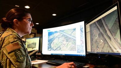
Raytheon UK has secured a contract to support the UK’s space domain awareness mission by providing orbital analysts and access to its NORSSTrack software.
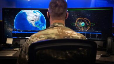
Under the initiative, analysts will operate from the National Space Operations Centre at Royal Air Force High Wycombe in southern England.
Access to NORSSTrack will enable the UK Space Agency to map and track satellites, monitor debris and potential collisions, assess re-entry risks, and deliver data to support operational decisions.
The UK’s Strategic Defence Review, a government assessment outlining national security priorities and defense strategies, identifies these capabilities as key to protecting national assets.
Partnering with Raytheon allows the delivery of “key components of the National Space Operations Centre operations, analysis and response capability – clearly signaling our commitment to safeguarding UK and allied interests in an increasingly complex orbital environment,” said Angus Stewart, head of the National Space Operations Centre.
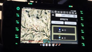
NORSSTrack
NORSSTrack provides a detailed view of space activity through both 2D maps and 3D models, enabling operators to visualize satellite positions and movements in real-time.
The system identifies and tracks any objects whose orbits change unexpectedly, issuing alerts to maintain operational safety.
It also analyzes collision probabilities to assess risks and conducts regular monitoring to detect new objects or changes in orbital paths.
In the event of fragmentation, NORSSTrack can simulate debris dispersion, helping operators understand the causes and potential impacts of breakups.
Additionally, it includes a sensor modeling feature that replicates the behavior of various ground-based and space-based sensors.