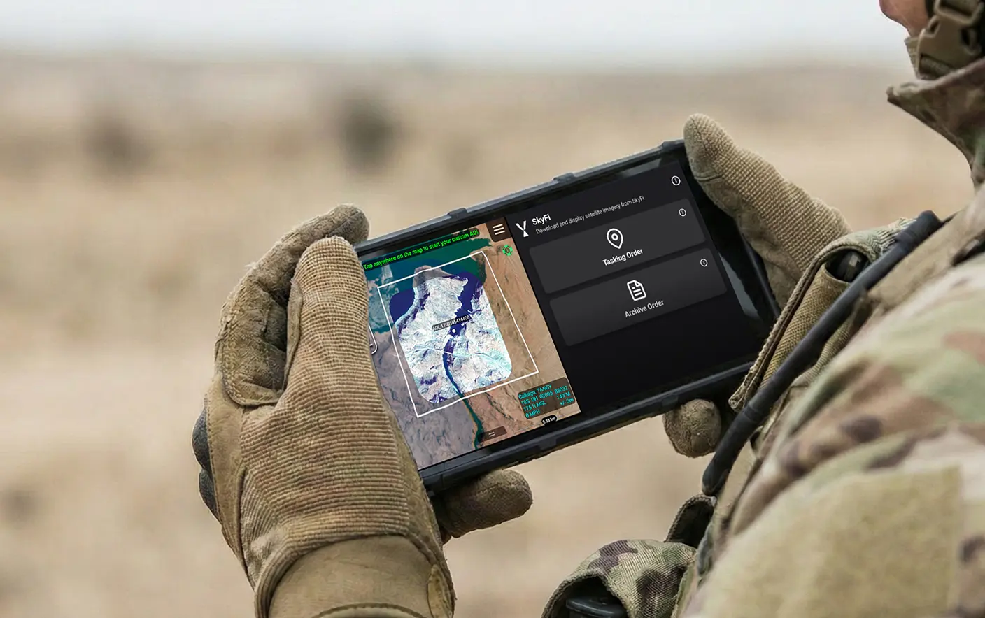
US Special Operations Command has selected SkyFi to support a prototype effort aimed at speeding up the delivery of satellite imagery and geospatial data directly to troops at the tactical edge.
The Phase I initiative is assessing commercial capabilities that can shorten the time between satellite collection and field use, including development of a Sovereign Intelligence Platform and an Android Tactical Assault Kit plugin for mobile operations.
SkyFi, a US-based Earth intelligence company, provides access to satellite imagery archives, tasking services for new captures, and analytics tools that allow users to integrate geospatial data into operational workflows.
The platform is designed to make Earth observation data more accessible for both government and commercial users.
Findings from Phase I may lead to follow-on work, which could include deeper system integration, expanded delivery mechanisms, and improved visualization and processing tools for operational use.
Geospatial Intel and Modern Conflict
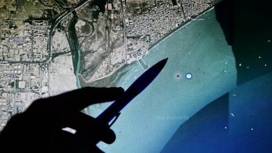
Geospatial intelligence (GEOINT) is no longer just a support tool but a core driver of targeting, infrastructure mapping, and battlefield decision-making in modern conflicts.
In April, a Resecurity threat intelligence report showed how GEOINT is being used in the Iran conflict to identify and strike critical infrastructure, including energy sites and data centers, while also shaping defensive countermeasures against surveillance and targeting systems.
The result is a battlefield where visibility is both an advantage and a vulnerability.
While GEOINT improves situational awareness and precision, it also exposes critical infrastructure to faster detection and targeting cycles.