GEOINT in the Iran War: Targeting, Intelligence, and the Battle for Information
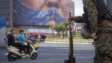
The Iran war is highlighting the growing role of geospatial intelligence (GEOINT) in modern warfare, as digital and physical battlefields become increasingly intertwined.
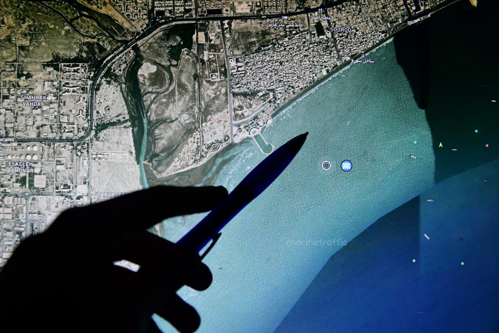
GEOINT — the fusion of satellite imagery, mapping data, and advanced analytics — is being used to support military planning, air strikes, and other kinetic operations.
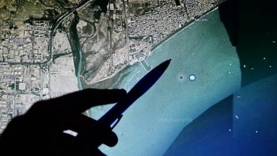
A new threat intelligence report by cybersecurity firm Resecurity outlines how geospatial data has been used to identify and target critical infrastructure, including data centers and oil and gas facilities.
It also examines how Iranian actors are collecting and exploiting such data, as well as efforts by commercial imagery providers to limit access to sensitive information during active conflict.
GEOINT as Dual-Use Tool
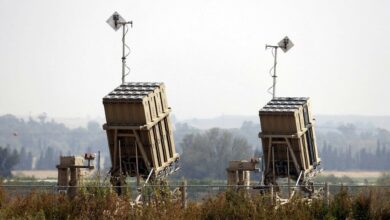
According to Resecurity, GEOINT has played a central role in both offensive and defensive operations, enabling precision targeting while also prompting countermeasures to restrict the availability of high-resolution imagery.
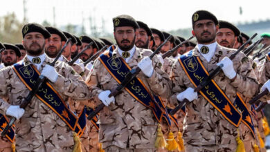
Despite these restrictions, the company says Iranian groups continue to obtain geospatial intelligence through alternative channels, including dark web forums and paid human sources, maintaining what it describes as a persistent threat to regional infrastructure.
The report also points to a broader trend: the convergence of GEOINT with signals intelligence (SIGINT), human intelligence (HUMINT), and cyber operations.
This integration is expected to play an increasingly decisive role in future conflicts, with lessons from Ukraine and Iran providing a blueprint for other regions.
Resecurity advises organizations in sectors such as defense, energy, transport, logistics, and telecommunications to consider this risk and strengthen protections and limit the exposure of location-enriched data tied to staff and facilities.
Exposure of such information, the firm warns, could enable foreign actors to conduct targeted attacks.