AmericasDrones - Latest News, Features & Expert Opinion

Red Cat’s ‘Black Widow’ Drone Masters GPS-Denied Skies With Palantir Software
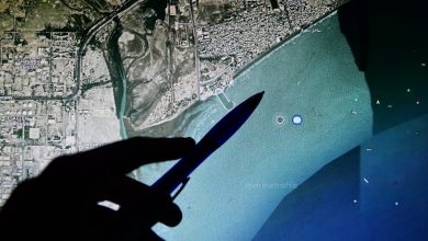
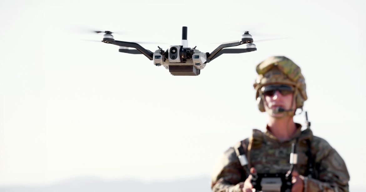
Red Cat’s “Black Widow” drone successfully flew through a GPS- and signal-denied environment, marking the first known instance of a US Army-certified drone using visual navigation in operational conditions.
The flight test was conducted in collaboration with Palantir Technologies, which integrated its Visual Navigation (VNav) software into the Black Widow platform to enable GPS-free flight.
VNav proved capable across varied mission conditions, maintaining reliable navigation at speeds up to 16 miles (25.7 kilometers) per hour and altitudes as low as 150 feet (46 meters).
Read the full story on NextGen Defense: Red Cat’s ‘Black Widow’ Drone Masters GPS-Denied Skies With Palantir Software