Raytheon has received an order from Blue Raven for 120 SharpSight surveillance radars, marking the largest contract to date for the system.
The agreement covers production and sustainment of the radar systems, while Blue Raven, formerly Crestwood Technology Group, will manage global resale and distribution activities.
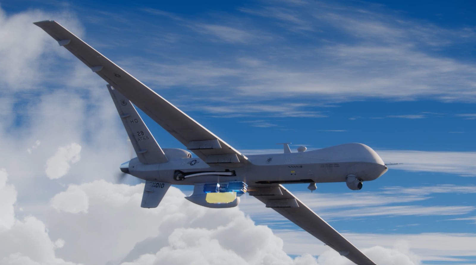
SharpSight is a software-defined, multi-domain surveillance radar designed for both crewed and uncrewed airborne platforms.
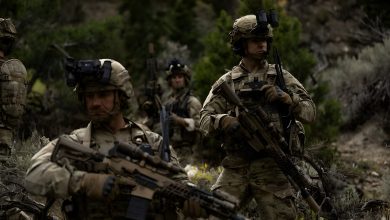
The system combines technologies derived from Raytheon’s HISAR and SeaVue radar families and is intended for missions including maritime surveillance, border security, anti-surface warfare, search and rescue, and long-range monitoring.
“By partnering with Blue Raven, we’re making it easier and more affordable for customers to field this capability at the scale that fits their mission, whether that’s a small fleet or a larger enterprise deployment,” stated Dan Theisen, president of Advanced Products and Solutions at Raytheon.
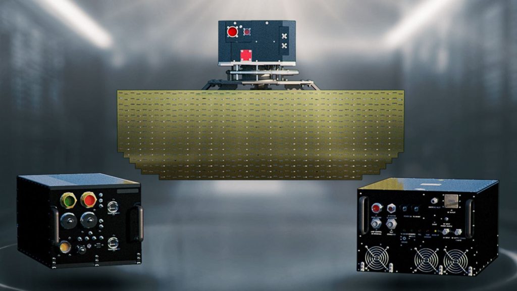
SharpSight Radar
The radar features an open-architecture, modular design intended to simplify upgrades and integration across different platforms.
One of the systems currently equipped with SharpSight is the MQ-9B SeaGuardian unmanned aircraft developed by General Atomics Aeronautical Systems.
The radar can detect, track, and classify more than 1,000 targets simultaneously by combining radar processing with automatic identification system data.
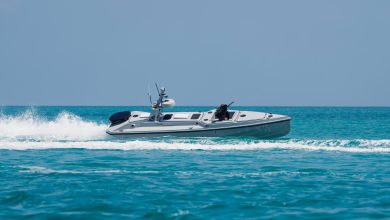
SharpSight is also designed for small-target detection at extended ranges, enabling aircraft or unmanned systems to operate at higher altitudes and from longer stand-off distances while maintaining surveillance coverage.
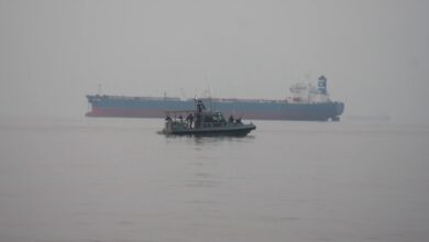
The system is intended for missions including coastal and littoral monitoring, anti-piracy operations, and enforcement of economic exclusion zones.
It can also support interdiction activities targeting smuggling and trafficking, alongside overland imaging, mapping, and environmental monitoring tasks.