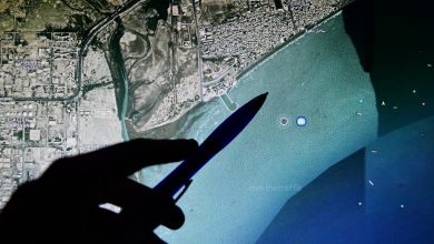
Northrop Grumman has completed the third test of its Advanced Hypersonic Technology (AHT) Inertial Measurement Unit (IMU).
The AHT IMU uses a resonating gyroscope to measure rotation and determine the aircraft’s orientation and movement. It was tested aboard a sounding rocket.
During the test, it functioned under intense acceleration, at extreme altitudes, and hypersonic speeds.
Moreover, the system operated in GPS-denied conditions and collected inertial data throughout the flight, demonstrating its durability and reliability in hypersonic and near-space environments.
These capabilities enable precise navigation, supporting targeting, guidance, and trajectory control for hypersonic vehicles.
“Testing the Northrop Grumman AHT IMU in real-world conditions at unprecedented speeds, proves we’ve developed a navigation system that makes platforms incredibly agile and nearly impossible to defend against,” stated Sam Dimashkie, director of future navigation technology at Northrop Grumman’s Research and Development organization.
“Our technology is a major leap forward in strategic capabilities, outshining anything currently available to US forces.”
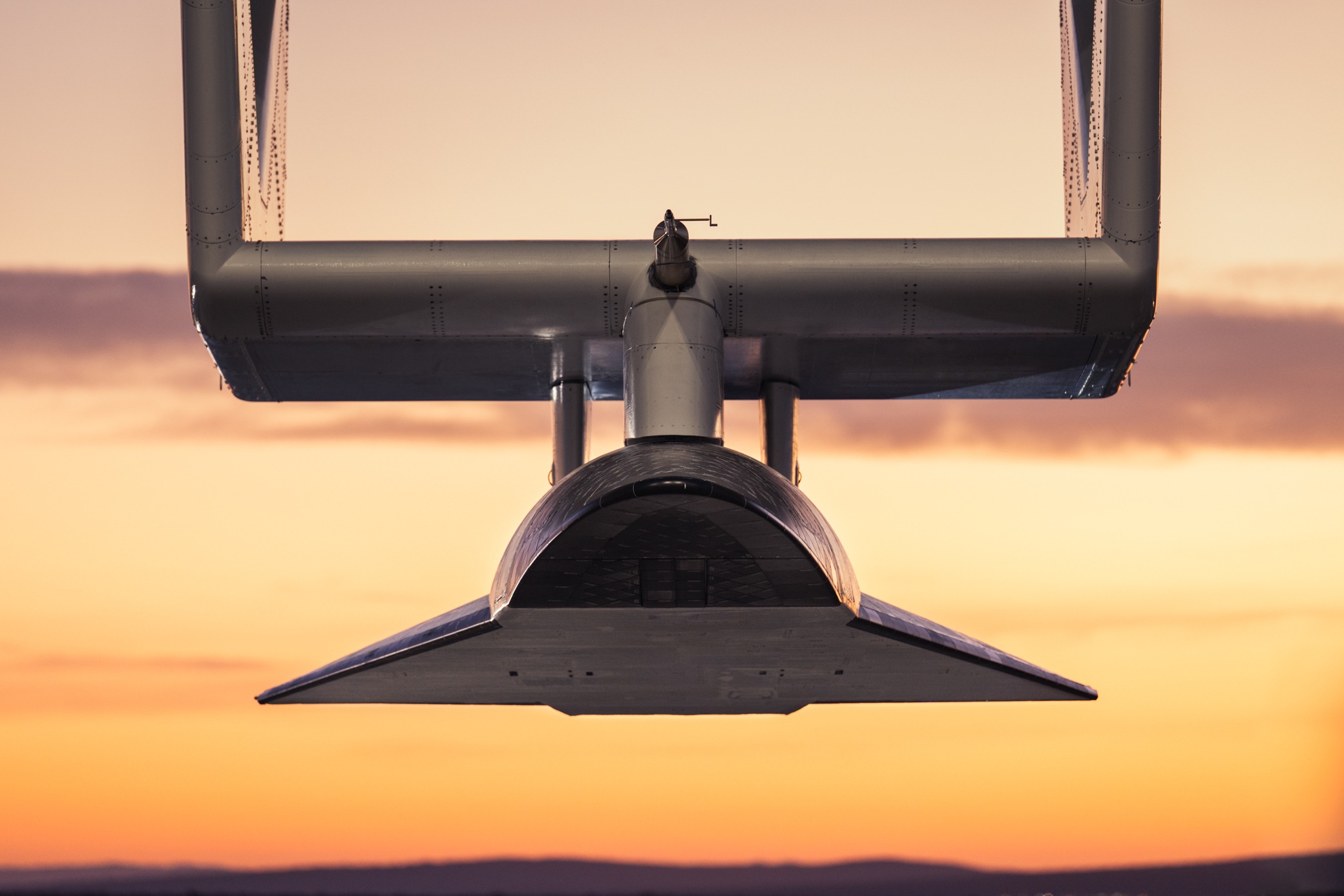
Following two earlier flights on a reusable hypersonic vehicle, the recent test was the third use of the same unit within six months, confirming the system’s reusability.
In May, Northrop Grumman completed two test flights of its AHT IMU aboard Stratolaunch’s reusable hypersonic aircraft, Talon-A.
Recent Tests
In recent months, Northrop Grumman has conducted multiple test campaigns for various advanced systems.
Earlier in September, the US-based firm announced upcoming flight tests of its Beacon project on a modified Scaled Composites Model 437 “Vanguard” jet to evaluate AI performance in flight, part of the Pentagon’s effort to integrate AI into future combat aircraft.
In August, the company and the US Space Force conducted the first test of the Deep-Space Advanced Radar Capability, a ground-based system built to track and monitor objects in space with high precision.