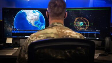
Finnish company ICEYE and Ukraine’s Ministry of Defence have signed an agreement to expand their cooperation in space-based intelligence.
Building on previous initiatives, the deal provides Kyiv with frequent, high-resolution satellite imagery from ICEYE’s Synthetic Aperture Radar (SAR) constellation to support situational awareness for Ukrainian Armed Forces operations.
Expanded access to SAR data enables faster detection of ground changes, reducing uncertainty in time-sensitive situations.
Radar imaging allows observation through darkness, clouds, and smoke, providing reliable data where optical sensors may be limited.
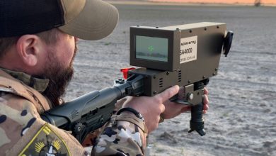
“Today’s operational environment makes one thing clear: space is no longer only a strategic domain, it is a tactical layer of defense. That requires space-based intelligence that can be acted on in near real time, day or night, in any weather,” stated John Cartwright, Senior VP of Data Product at ICEYE.
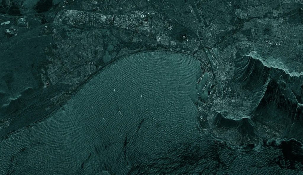
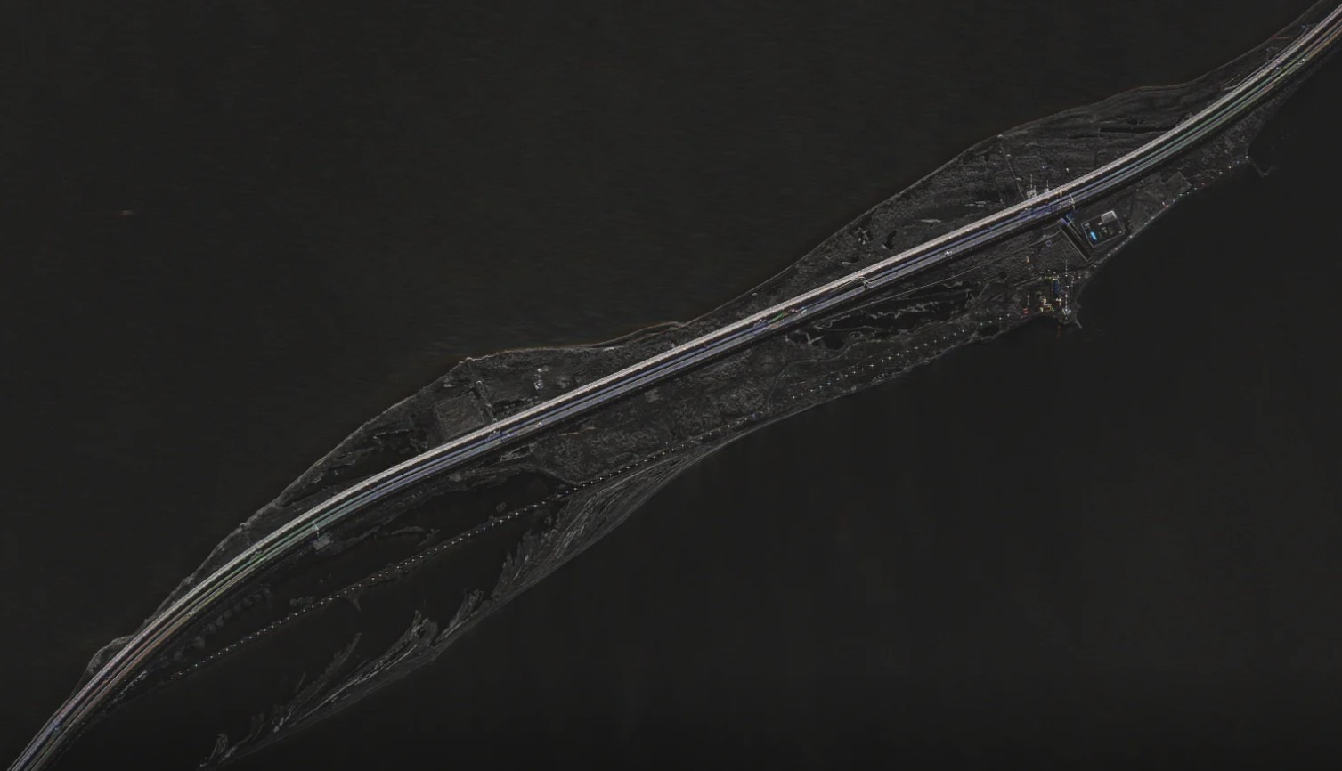
ICEYE’s Satellites
Under the recent contract, ICEYE’s Generation 4 satellites will provide imagery with a resolution of up to 16 centimeters (6.3 inches).
Each satellite can capture 500 images per day, with up to half focused on a region 2,000 kilometers (1,243 miles) wide per orbit.
The satellites are designed to operate in large constellations, which increases the total imaging capacity and enables the same area to be revisited in less than 15 minutes.
They also include Scan Wide, a wide-area imaging mode that can cover regions measuring up to 200 kilometers (124 miles) by 300 kilometers (186 miles) in a single pass.
This wide-area capability is used for maritime operations, including vessel detection and oil spill monitoring, helping defense and intelligence teams achieve faster, more reliable situational awareness for operational decisions.