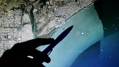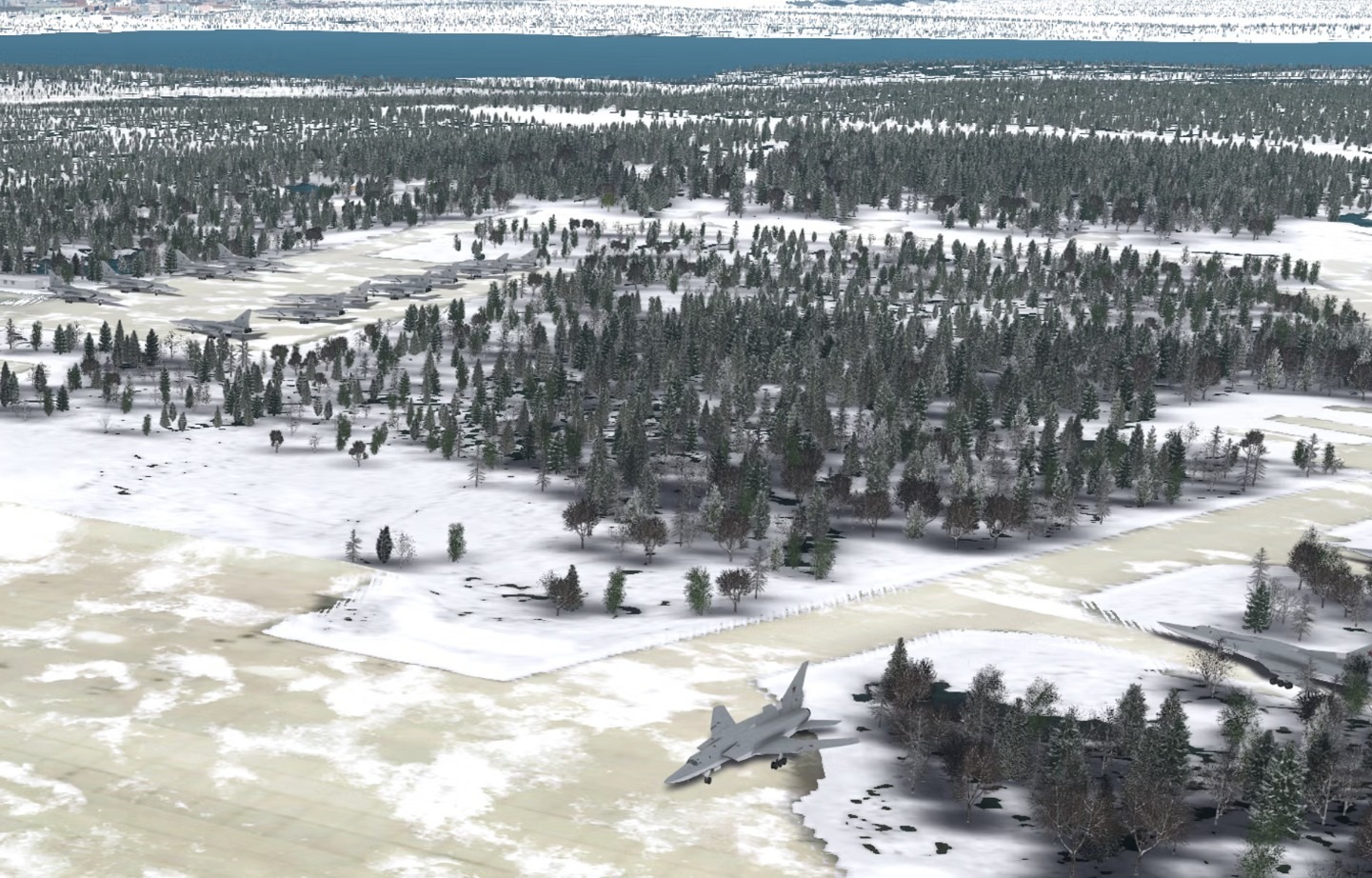
Aechelon Technology has completed a proof-of-concept that uses AI and Vantor’s global 3D terrain data to turn ICEYE’s high-resolution radar imagery into detailed 3D synthetic environments.
The system fuses radar detections of objects and changes on the ground with Vantor’s continuously updated 3D maps, which include terrain and building footprints covering more than 95 percent of the Earth’s landmass.
Vantor supplies the data through its Tensorglobe platform, supported by a satellite constellation that can revisit the same area up to 15 times per day.
Read the full story on our new publication, Military AI: AI Converts SAR Imagery Into Real-Time 3D Synthetic Terrain